Flood Insurance Study (FIS)


This FIS revises and updates information on the existence and severity of flood hazards in the geographic area of Comal County; aiding in the administration of the National Flood Insurance Act of 1968 and the Flood Disaster Protection Act of 1973. This study has developed flood-risk data for various areas of the community. It will be used to establish actuarial flood insurance rates and to assist the community in its efforts to promote sound floodplain management.

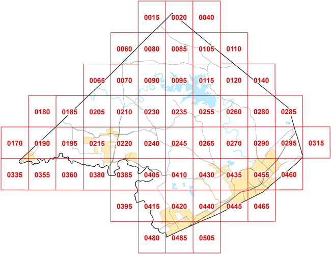
Flood Insurance Rate Maps

(Click Panel to Display FIRM Map)

Click on panel to display FIRM map 48091C0015F 48091C0020F Not Available 48091C0060F 48091C0080F 48091C0085F 48091C0105F 48091C0110F 48091C0065F 48091C0070F 48091C0090F 48091C0095F 48091C0115F 48091C0120F Not Available Not Available 48091C0185F 48091C0205F 48091C0210F 48091C0230F 48091C0235F 48091C0255F 48091C0260F 48091C0280F 48091C0285F 48091C0170F 48091C0190F 48091C0195F 48091C0215F 48091C0220F 48091C0240F 48091C0245F 48091C0265F 48091C0270F 48091C0290F 48091C0295F Not Available 48091C0335F 48091C0355F 48091C0360F 48091C0380F 48091C0385F 48091C0405F 48091C0410F 48091C0430F 48091C0435F 48091C0455F 48091C0460F 48091C0395F 48091C0415F 48091C0420F 48091C0440F 48091C0445F 48091C0465F 48091C0480F 48091C0485F Not Available

FIRM Map Panels Not Available for Mobile Devices

Engineer's Office Home